
SITE MAPS
Point at the map. That's the location sorted.
Upload your venue plan, draw your zones once, and every incident is pinned to a named location with a visual snapshot — no more ambiguous descriptions of where things happened.
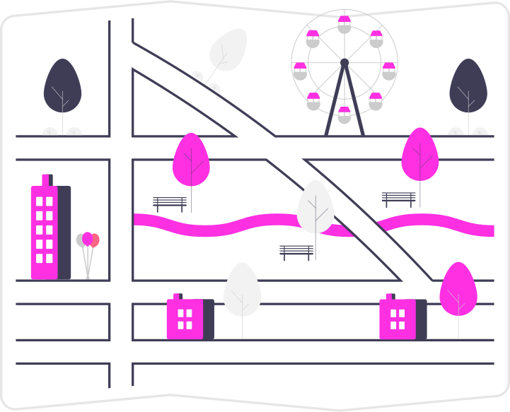
Draw your venue the way you patrol it.
Upload a JPG, PNG or PDF of any site plan — stadium bowl, campus, festival ground, office floor. Draw freehand polygon zones over it and name each one. Zones automatically become selectable locations across the platform. Multiple maps per department are supported, so the arena and the car parks each get their own.

Reporting staff just tap where it happened.
On the incident form, the map appears and staff tap the zone. The location field fills itself, and E-DOB generates a cropped, zoomed snapshot of that zone which becomes the incident's image. Anyone reviewing the report sees exactly where — at a glance, without knowing the site.

Everything included
- Site map upload — JPG, PNG, or PDF (converted automatically); multiple maps per department
- Polygon zone drawing — freehand named zones on an interactive canvas
- Zone-to-location linking — zones appear in location dropdowns automatically
- Map-based selection — staff tap a zone; the location field fills itself
- Zone snapshots — a cropped, zoomed image of the zone stored on the incident
Frequently asked questions
Related features
Incident reporting
Structured incident reports from any device — complete with reference numbers, timestamps, attending staff and a full audit trail.
Learn moreEvidence management
CCTV exports, photos, documents and statements — uploaded to the report they belong to, scanned for malware, stored encrypted, and playable in the browser.
Learn moreUser management
Named user groups with granular permissions replace blunt admin/user roles — controlling closing rights, edit rights, AI access, and visibility of departments, locations and incident types.
Learn morePut your venue on the map.
Start your 14-day free trial today. No card required.
No card required